-
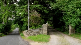
Road Between Baybridge and Hunstanworth
-

Ordnance Survey Flush Bracket G2999
Road Between Baybridge and Hunstanworth
Ordnance Survey Flush Bracket G2999
Location and coordinates are for the approximate centre of Boltsburn Plantation within this administrative area. Geographic features and populated places may cross administrative borders.