-
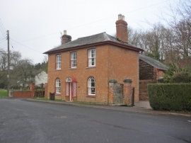
House, at the entrance to Beeley Orchard, Bolham
-
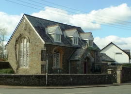
The Old Chapel, Bolham, Devon
House, at the entrance to Beeley Orchard, Bolham
The Old Chapel, Bolham, Devon
Location and coordinates are for the approximate centre of Bolham within this administrative area. Geographic features and populated places may cross administrative borders.