-

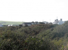
Field and cottages, Lleyn Peninsula
-
Tir Glyn from the Porth Meudwy track
Field and cottages, Lleyn Peninsula
Tir Glyn from the Porth Meudwy track
Location and coordinates are for the approximate centre of Bodermid within this administrative area. Geographic features and populated places may cross administrative borders.