-
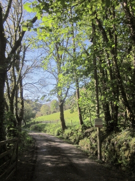
Drive to Bearland Bridge Cottage
-
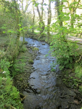
Haye Valley Stream
Drive to Bearland Bridge Cottage
Haye Valley Stream
Location and coordinates are for the approximate centre of Blogsters Wood within this administrative area. Geographic features and populated places may cross administrative borders.