-
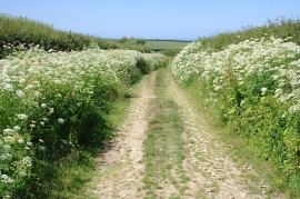
Green Lane and Hedge Parsley
-
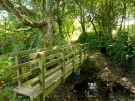
Footbridge over the Titchberry Water
Green Lane and Hedge Parsley
Footbridge over the Titchberry Water
Location and coordinates are for the approximate centre of Blegbury within this administrative area. Geographic features and populated places may cross administrative borders.