-

Patterson Street, Blaydon Haughs Industrial estate
-
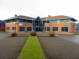
Roadsafe & Railsafe, Whiteley Road, Blaydon Haughs
Patterson Street, Blaydon Haughs Industrial estate
Roadsafe & Railsafe, Whiteley Road, Blaydon Haughs
Location and coordinates are for the approximate centre of Blaydon Haughs within this administrative area. Geographic features and populated places may cross administrative borders.