-
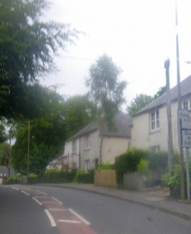
Residential uses along the A81 in Blanefield
-
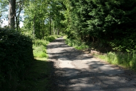
Start of the unmetalled road
Residential uses along the A81 in Blanefield
Start of the unmetalled road
Other current and historical names
Location and coordinates are for the approximate centre of Blanefield within this administrative area. Geographic features and populated places may cross administrative borders.