-

Ouse Valley Way by Blackwell Spinney
-
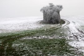
Stand of trees by the path
Ouse Valley Way by Blackwell Spinney
Stand of trees by the path
Location and coordinates are for the approximate centre of Blackwell Spinney within this administrative area. Geographic features and populated places may cross administrative borders.