-
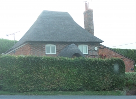
Oakhill Cottage, Shalbourne
-
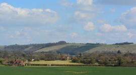
View over farmland to Ham Hill, Wiltshire
Oakhill Cottage, Shalbourne
View over farmland to Ham Hill, Wiltshire
Location and coordinates are for the approximate centre of Blacksmith's Copse within this administrative area. Geographic features and populated places may cross administrative borders.