-
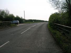
Minor road towards Allerthorpe Common
-
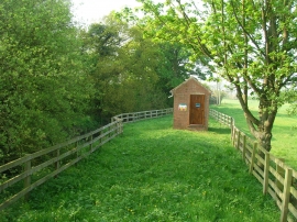
Yorkshire Water building beside Blackfoss Beck
Minor road towards Allerthorpe Common
Yorkshire Water building beside Blackfoss Beck
Location and coordinates are for the approximate centre of Blackfoss Beck within this administrative area. Geographic features and populated places may cross administrative borders.