-
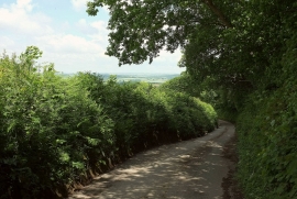
Lane to Eastacott
-
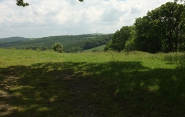
Towards the Shuttern Brook valley
Lane to Eastacott
Towards the Shuttern Brook valley
Location and coordinates are for the approximate centre of Blackdown Plantation within this administrative area. Geographic features and populated places may cross administrative borders.