-

Trees on Hamel Down
-
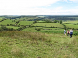
Fields near Blackaton
Trees on Hamel Down
Fields near Blackaton
Location and coordinates are for the approximate centre of Blackaton Down within this administrative area. Geographic features and populated places may cross administrative borders.