-
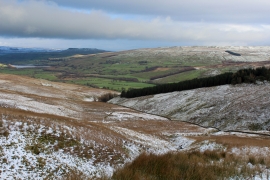
A View over the New Close Gill Valley
-
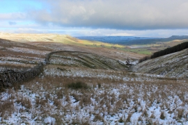
Looking Downstream over the New Close Gill Valley
A View over the New Close Gill Valley
Looking Downstream over the New Close Gill Valley
Location and coordinates are for the approximate centre of Black Stalps Moss within this administrative area. Geographic features and populated places may cross administrative borders.