-
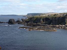
Loch Craig, near Macduff
-

Ordnance Survey Flush Bracket G3995
Loch Craig, near Macduff
Ordnance Survey Flush Bracket G3995
Location and coordinates are for the approximate centre of Black Shank within this administrative area. Geographic features and populated places may cross administrative borders.