-
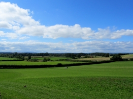
Fields to the West of Burneston
-
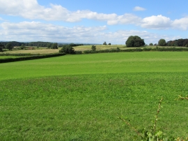
Countryside West of Burneston
Fields to the West of Burneston
Countryside West of Burneston
Location and coordinates are for the approximate centre of Black Plantn within this administrative area. Geographic features and populated places may cross administrative borders.