-
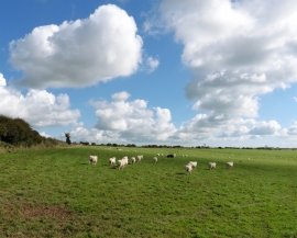
Sheep on Halscome Allotment
-
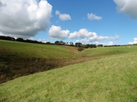
Black Pits Plain
Sheep on Halscome Allotment
Black Pits Plain
Location and coordinates are for the approximate centre of Black Pits Plain within this administrative area. Geographic features and populated places may cross administrative borders.