-
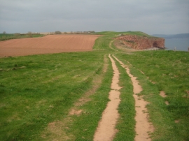
Coast path above Black Head
-
East Devon : South West Coastal Path
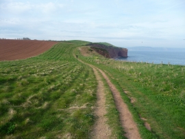
Coast path above Black Head
East Devon : South West Coastal Path
Location and coordinates are for the approximate centre of Black Head within this administrative area. Geographic features and populated places may cross administrative borders.