-
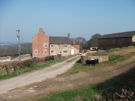
House and farm buildings at Pentre-clawdd
-

Llwybr Clawdd Wat at Pentre-clawdd
House and farm buildings at Pentre-clawdd
Llwybr Clawdd Wat at Pentre-clawdd
Location and coordinates are for the approximate centre of Black Brook within this administrative area. Geographic features and populated places may cross administrative borders.