-
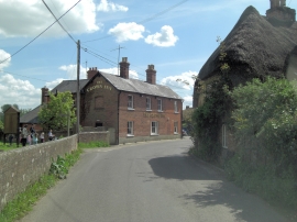
The Crown Inn
-
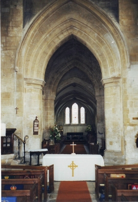
Interior of St. Mary's, Bishops Cannings, Wiltshire
The Crown Inn
Interior of St. Mary's, Bishops Cannings, Wiltshire
Location and coordinates are for the approximate centre of Bishops Cannings within this administrative area. Geographic features and populated places may cross administrative borders.