-
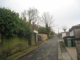
Alley behind Birkby Hall Road
-
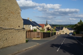
New housing on a mill site
Alley behind Birkby Hall Road
New housing on a mill site
Other current and historical names
Location and coordinates are for the approximate centre of Birkby within this administrative area. Geographic features and populated places may cross administrative borders.