-
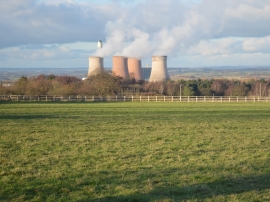
Pasture land off Brereton Hill Lane
-
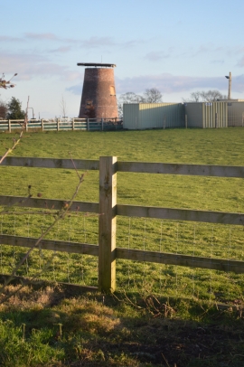
Windmill conversion
Pasture land off Brereton Hill Lane
Windmill conversion
Location and coordinates are for the approximate centre of Birch Covert within this administrative area. Geographic features and populated places may cross administrative borders.