-
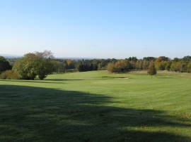
View SW from near Birch Grove House
-
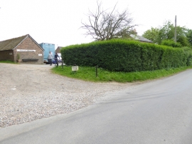
Entrance at Porches Farm Riding Stables
View SW from near Birch Grove House
Entrance at Porches Farm Riding Stables
Location and coordinates are for the approximate centre of Bingham's Wood within this administrative area. Geographic features and populated places may cross administrative borders.