-

Sheep pasture south of Leicester Road
-
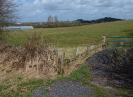
Grassland north of Leicester Road
Sheep pasture south of Leicester Road
Grassland north of Leicester Road
Location and coordinates are for the approximate centre of Billesdon Brook within this administrative area. Geographic features and populated places may cross administrative borders.