-
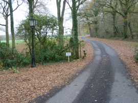
Energy bulb in old gas lamp
-
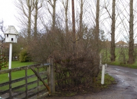
Dovecote by bridleway
Energy bulb in old gas lamp
Dovecote by bridleway
Location and coordinates are for the approximate centre of Biddenfield Copse within this administrative area. Geographic features and populated places may cross administrative borders.