-
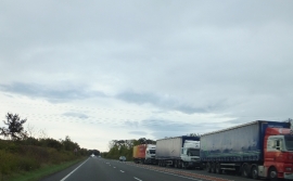
Lay-by beside A41south of No Mans Heath
-
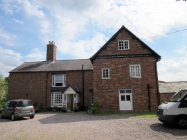
Cheshire Wildlife Trust at Bickley Hall Farm
Lay-by beside A41south of No Mans Heath
Cheshire Wildlife Trust at Bickley Hall Farm
Location and coordinates are for the approximate centre of Bickley Field within this administrative area. Geographic features and populated places may cross administrative borders.