-
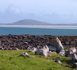
Shoreline at Rubha nan R
-
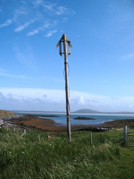
Old marker post by the shore
Shoreline at Rubha nan R
Old marker post by the shore
Location and coordinates are for the approximate centre of Bàgh Gearraidh Mhic Amhlaidh within this administrative area. Geographic features and populated places may cross administrative borders.