-
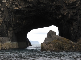
Looking through the Natural Arch
-
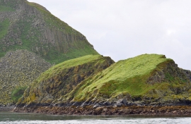
Bidean a' Roimh
Looking through the Natural Arch
Bidean a' Roimh
Location and coordinates are for the approximate centre of Bàgh Chlann Neill within this administrative area. Geographic features and populated places may cross administrative borders.