-
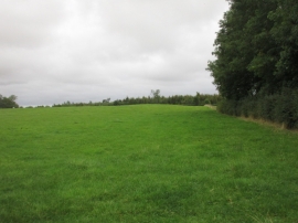
Grass field next to Old Rush
-
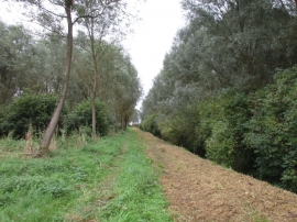
Beswick New Cut
Grass field next to Old Rush
Beswick New Cut
Location and coordinates are for the approximate centre of Beswick Rush Plantation within this administrative area. Geographic features and populated places may cross administrative borders.