-
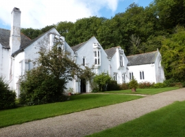
Bradley Manor, near Newton Abbot, Devon
-
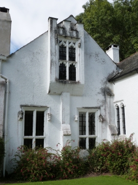
Bradley Manor, near Newton Abbot, Devon
Bradley Manor, near Newton Abbot, Devon
Bradley Manor, near Newton Abbot, Devon
Location and coordinates are for the approximate centre of Berry's Wood within this administrative area. Geographic features and populated places may cross administrative borders.