-
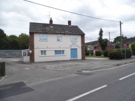
Not so Jolly Farmer
-
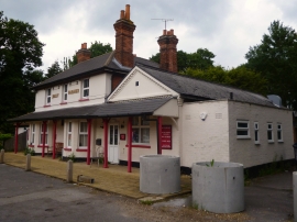
Raw environmental services on College Road
Not so Jolly Farmer
Raw environmental services on College Road
Location and coordinates are for the approximate centre of Berrybank Copse within this administrative area. Geographic features and populated places may cross administrative borders.