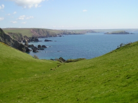
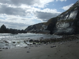
Ben's Wood, Devon

« Gazetteer Entry
Upload Photo

Ben's Wood, Devon

  • Parish/Community: Kingston
  • District/Borough: South Hams
  • County: Devon
  • Region: South West
  • Category: Landcover
  • Type: Forest or Wood
  • Latitude/Longitude: 50°17'54"N 3°55'46"W
  • Eastings/Northings: 262665, 46063
  • OS Grid: SX626460
  • Mapcode Local: GBR Q6.YQBJ
  • Mapcode Global: FRA 28N7.NXC

Location and coordinates are for the approximate centre of Ben's Wood within this administrative area. Geographic features and populated places may cross administrative borders.

BritishPlaceNames.uk is a Good Stuff website.