-
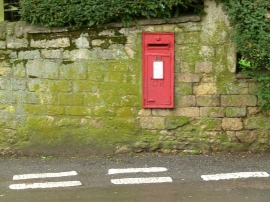
Belmesthorpe postbox, ref PE9 14
-
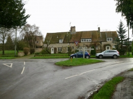
Green at Belmesthorpe
Belmesthorpe postbox, ref PE9 14
Green at Belmesthorpe
Other current and historical names
Location and coordinates are for the approximate centre of Belmesthorpe within this administrative area. Geographic features and populated places may cross administrative borders.