-
Ballinger Bottom
-

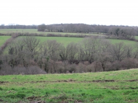
Bridleway to Bellows Wood
Ballinger Bottom
Bridleway to Bellows Wood
Location and coordinates are for the approximate centre of Bellows Wood within this administrative area. Geographic features and populated places may cross administrative borders.