-

Lights on Southend Lane at the junction of Stanton Way
-
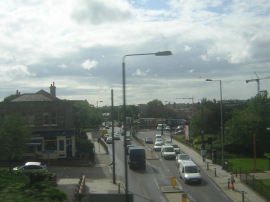
Lower Sydenham: Southend Lane, from the train
Lights on Southend Lane at the junction of Stanton Way
Lower Sydenham: Southend Lane, from the train
Location and coordinates are for the approximate centre of Bell Green within this administrative area. Geographic features and populated places may cross administrative borders.