-
Drove on Shapwick Heath
-

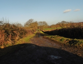
Northbrook Farm
Drove on Shapwick Heath
Northbrook Farm
Location and coordinates are for the approximate centre of Beggars Bush Copse within this administrative area. Geographic features and populated places may cross administrative borders.