-
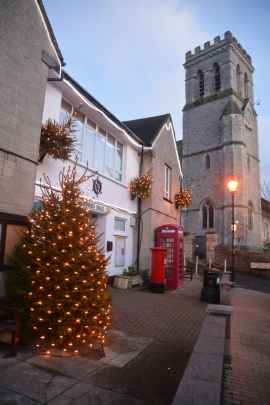
Beer : Mariner's Hall & St Michael's Church
-
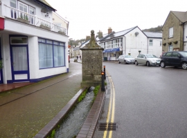
Beer, conduit head
Beer : Mariner's Hall & St Michael's Church
Beer, conduit head
Location and coordinates are for the approximate centre of Beer within this administrative area. Geographic features and populated places may cross administrative borders.