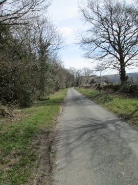
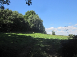
Beeds Hill Plantation, Devon

« Gazetteer Entry
Upload Photo

Beeds Hill Plantation, Devon

  • Parish/Community: Musbury
  • District/Borough: East Devon
  • County: Devon
  • Region: South West
  • Category: Landcover
  • Type: Forest or Wood
  • Latitude/Longitude: 50°44'51"N 3°0'21"W
  • Eastings/Northings: 329126, 94696
  • OS Grid: SY291946
  • Mapcode Local: GBR PG.LB0V
  • Mapcode Global: FRA 47L3.GRS

Location and coordinates are for the approximate centre of Beeds Hill Plantation within this administrative area. Geographic features and populated places may cross administrative borders.

BritishPlaceNames.uk is a Good Stuff website.