-
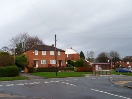
Bus stop on Kentmere Avenue, Leeds
-
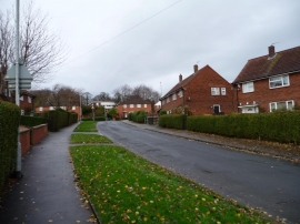
Barncroft Rise, Leeds
Bus stop on Kentmere Avenue, Leeds
Barncroft Rise, Leeds
Location and coordinates are for the approximate centre of Beechwood within this administrative area. Geographic features and populated places may cross administrative borders.