-
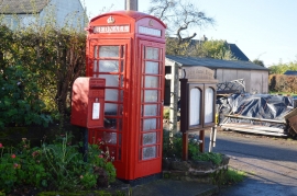
Post and telephone boxes
-
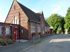
All Saints CE (A) Primary School
Post and telephone boxes
All Saints CE (A) Primary School
Other current and historical names
Location and coordinates are for the approximate centre of Bednall within this administrative area. Geographic features and populated places may cross administrative borders.