-

Looking into Ashley Close
-
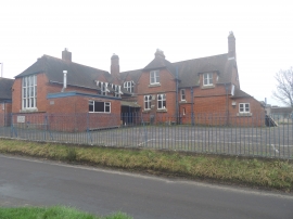
School Conversion - Bedhampton
Looking into Ashley Close
School Conversion - Bedhampton
Other current and historical names
Location and coordinates are for the approximate centre of Bedhampton within this administrative area. Geographic features and populated places may cross administrative borders.