-
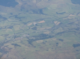
Beattock, from above the Lowther Hills
-
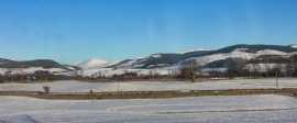
Beattock
Beattock, from above the Lowther Hills
Beattock
Location and coordinates are for the approximate centre of Beattock within this administrative area. Geographic features and populated places may cross administrative borders.