-

Pebble balancing
-
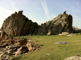
On the coastal path
Pebble balancing
On the coastal path
Location and coordinates are for the approximate centre of Beat Carn within this administrative area. Geographic features and populated places may cross administrative borders.