-
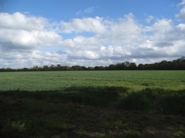
Field by Mire Lane, Waltham St Lawrence
-
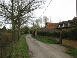
Rime Lane, West End
Field by Mire Lane, Waltham St Lawrence
Rime Lane, West End
Location and coordinates are for the approximate centre of Bears Copse within this administrative area. Geographic features and populated places may cross administrative borders.