-
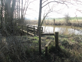
Stile and footbridge at Leppington Beck
-
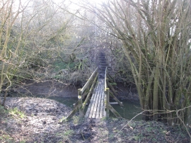
Footbridge and steps at Whitecarr Beck
Stile and footbridge at Leppington Beck
Footbridge and steps at Whitecarr Beck
Location and coordinates are for the approximate centre of Bean Lands within this administrative area. Geographic features and populated places may cross administrative borders.