-
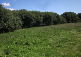
Field by Pudleylake Road
-
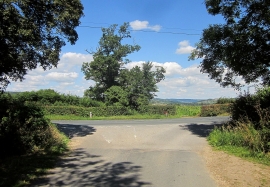
Junction on the Fosse Way
Field by Pudleylake Road
Junction on the Fosse Way
Location and coordinates are for the approximate centre of Bean Close Coppice within this administrative area. Geographic features and populated places may cross administrative borders.