-
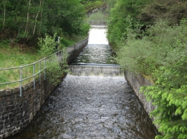
Water Outflow at Loch Katrine
-
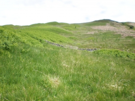
Dry stane dyke crossing moorland above Loch Katrine
Water Outflow at Loch Katrine
Dry stane dyke crossing moorland above Loch Katrine
Location and coordinates are for the approximate centre of Bealach na h-Imriche within this administrative area. Geographic features and populated places may cross administrative borders.