-
Lay-by on A16 near White Pit
-

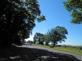
A16 towards Burwell
Lay-by on A16 near White Pit
A16 towards Burwell
Location and coordinates are for the approximate centre of Beacon Plantation within this administrative area. Geographic features and populated places may cross administrative borders.