-
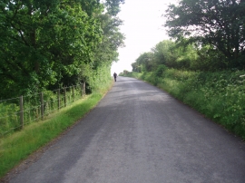
Bridge Over the Nimney Bourne
-
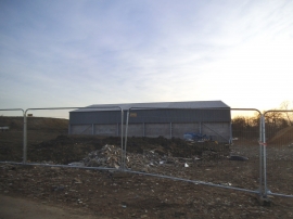
New barn at GGL Nurseries, Kettle Green
Bridge Over the Nimney Bourne
New barn at GGL Nurseries, Kettle Green
Location and coordinates are for the approximate centre of Bartram's Wood within this administrative area. Geographic features and populated places may cross administrative borders.