-
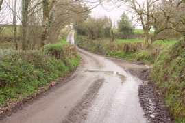
Lane to Down St Mary
-
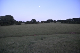
Mid Devon : Grassy Field
Lane to Down St Mary
Mid Devon : Grassy Field
Location and coordinates are for the approximate centre of Bartonbury Copse within this administrative area. Geographic features and populated places may cross administrative borders.