-
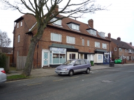
Convenience store on Colescliffe Road, Scarborough
-
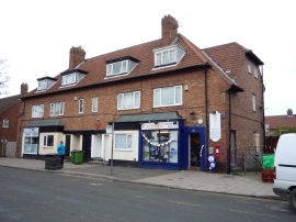
Convenience store on Colescliffe Road, Scarborough
Convenience store on Colescliffe Road, Scarborough
Convenience store on Colescliffe Road, Scarborough
Location and coordinates are for the approximate centre of Barrowcliff within this administrative area. Geographic features and populated places may cross administrative borders.